About Us
Yatta Constituency
Yatta Constituency is one of the eight electoral constituencies in Machakos County. The other constituencies in Machakos County are Athi River, Kalama, Kangundo, Kathiani, Machakos, Masinga and Matungulu. Yatta Constituency was established in 1963. The constituency has a projected population of 172,583 persons according to 2019 Kenya population and Housing Census. It covers an area of approximately 1057.30 square kilometers. It has five county assembly wards namely, Kithimani, Ikombe, Katangi, Ndalani and Matuu. It borders Masinga Constituency to the North, Mwala Constituency to the West, Kitui Central in the East and Kitui rural to the South. The constituency is sandwiched between Thika-Garissa highway on the North and Machakos- Kitui road on the South.
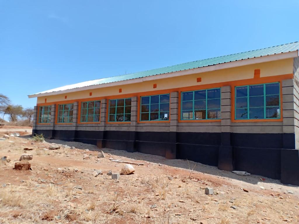
Yatta Constituency has 136 public primary schools and 35 private primary schools. The primary school enrolment for the public primary schools is 41,790 pupils (Sub-county Education office 2018). There are 59 public secondary schools and 10 private secondary schools in Yatta Constituency. The total public secondary schools enrolment is 15,800 (Sub-county Education office 2018).
There are at least six registered public Vocational Training Centers spread across the constituency namely; Katangi VTC, St. John Kalyambeu, Mathingau, Kalukuni, Matuu and Ndalani Vocational Training Centers.
Yatta Constituency has defined security structure which runs from the village level through the sub-location to the location, ward and the sub-county level. Peace, order and rule of law is maintained in Yatta Constituency. Security starts at the village level with the “Nyumba Kumi” and community policing, and goes all the way up to the Deputy County Commissioner through Assistant chiefs and Chiefs.
The Constituency's main economic activity is subsistence farming. Most of the farming activities rely on natural rainfall with a few areas involved in irrigation farming. There are some mining activities for building rocks carried out in Kyasioni and Kisiiki areas.
The constituency has vast opportunities that when well exploited may transform it. These include: Construction material such as sand and rocks, solar energy, Arable Land, Permanent Rivers such as Athi River, Thika River, Yatta Irrigation Canal and Human Resources.
Access NG-CDF Information on your Mobile


County Assembly Wards in Yatta Constituency:
Ikombe Ward
- County Assembly Ward No.:
- County Assembly Ward Name: Ikombe
- County Assembly Ward Population (Approx.):
- County Assembly Ward Area In Sq. Km (Approx.):
- County Assembly Ward Description: comprises part of
Matuu Ward
- County Assembly Ward No.:
- County Assembly Ward Name: Matuu
- County Assembly Ward Population (Approx.):
- County Assembly Ward Area In Sq. Km (Approx.):
- County Assembly Ward Description: comprises part of
Katangi Ward
- County Assembly Ward No.:
- County Assembly Ward Name: Katangi
- County Assembly Ward Population (Approx.):
- County Assembly Ward Area In Sq. Km (Approx.):
- County Assembly Ward Description: comprises part of
Kithimani Ward
- County Assembly Ward No.:
- County Assembly Ward Name: Kithimani
- County Assembly Ward Population (Approx.):
- County Assembly Ward Area In Sq. Km (Approx.):
- County Assembly Ward Description: comprises part of
Ndalani Ward
- County Assembly Ward No.:
- County Assembly Ward Name: Ndalani
- County Assembly Ward Population (Approx.):
- County Assembly Ward Area In Sq. Km (Approx.):
- County Assembly Ward Description: comprises part of